Saturday, May 06, 2006

Roche Miette

Roche Miette stats.
29 Sept 2004, failed attempt with Dan.
1 Oct 2004, successful scramble with Hank.
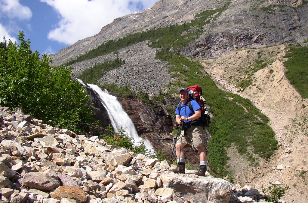
On our first attempt Dan and I started on the wrong trail, as many do. Make sure you take the correct trail along the ridge, keep a lookout for the indicative logs, surveying tape, cairn on the proper trail, you'll be happier. Dan made it as far as the saddle, I went a bit further, but not much. For SWMBO (She Who Must Be Obeyed) had explained to me that I would not be scrambling alone.
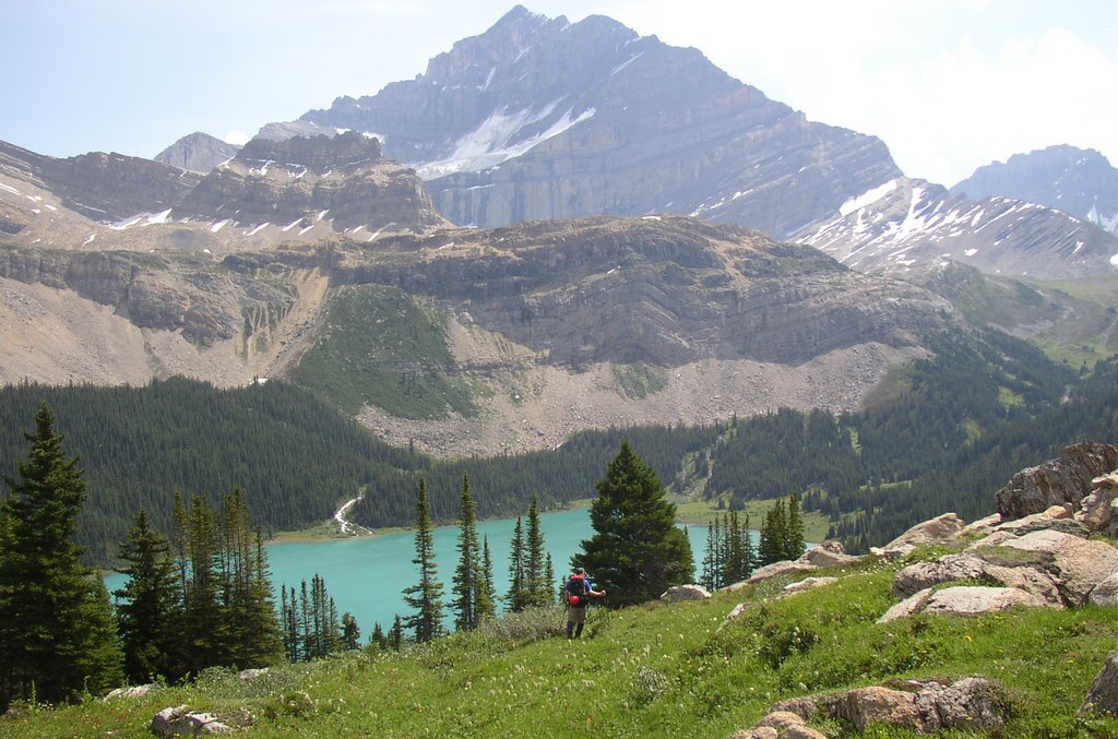
A week later I went back with Hank, we used the correct trail along the ridge to the saddle. On this ridge are some cool vertical flakes that look like the scaly protrusions on a lizards back.
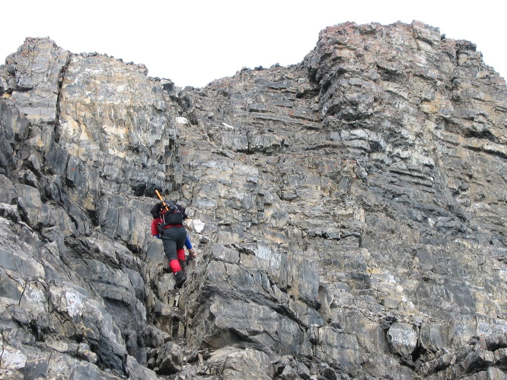
After the saddle the scrambling begins in earnest, arcing around to the climbers left. Follow the little fluorescent tape markers. This is sustained moderate scrambling and a cool climb.
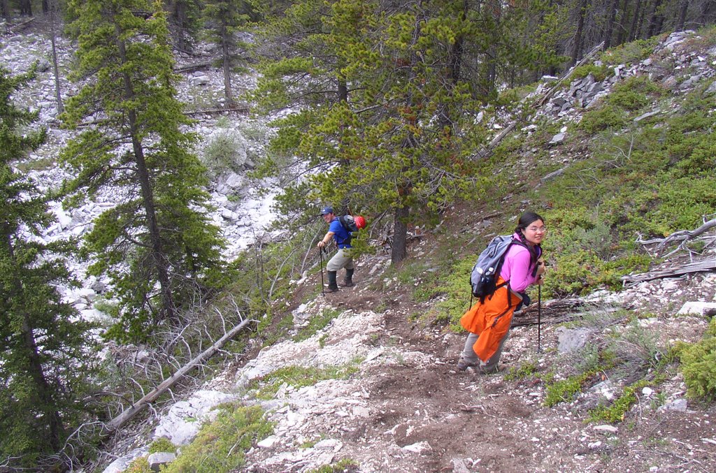
For our descent we dropped down from the saddle directly into the drainage. It looked like nice scree for a fast and furious descent. It wasn't, the small scree is consolidated and the big stuff is too big and awkward to run down. Once down into the drainage we picked up the trail that cuts across the central spur (this trail is the incorrect ascent trail many people take from the cut line) and hiked back to the car.


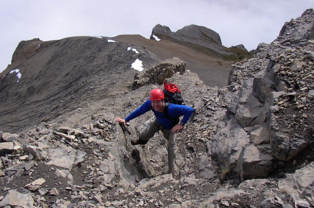
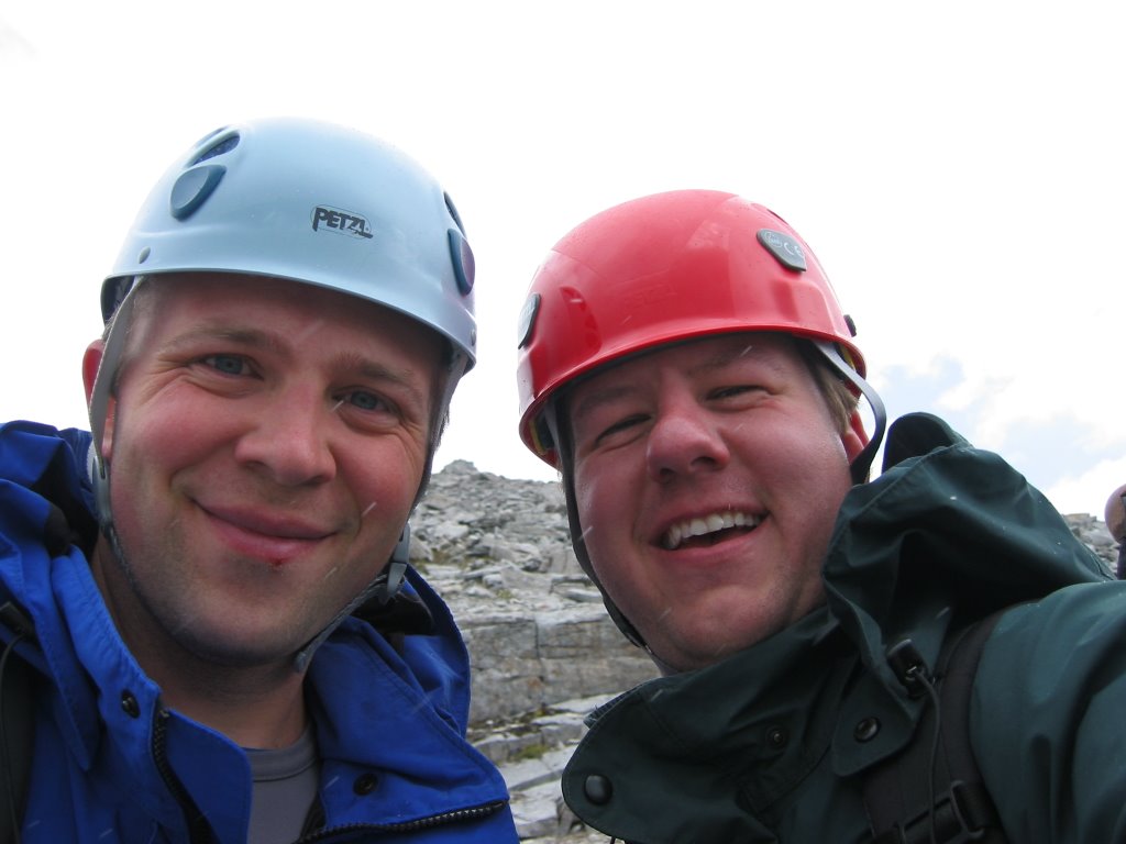
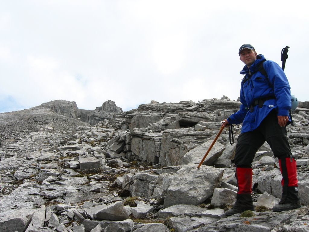
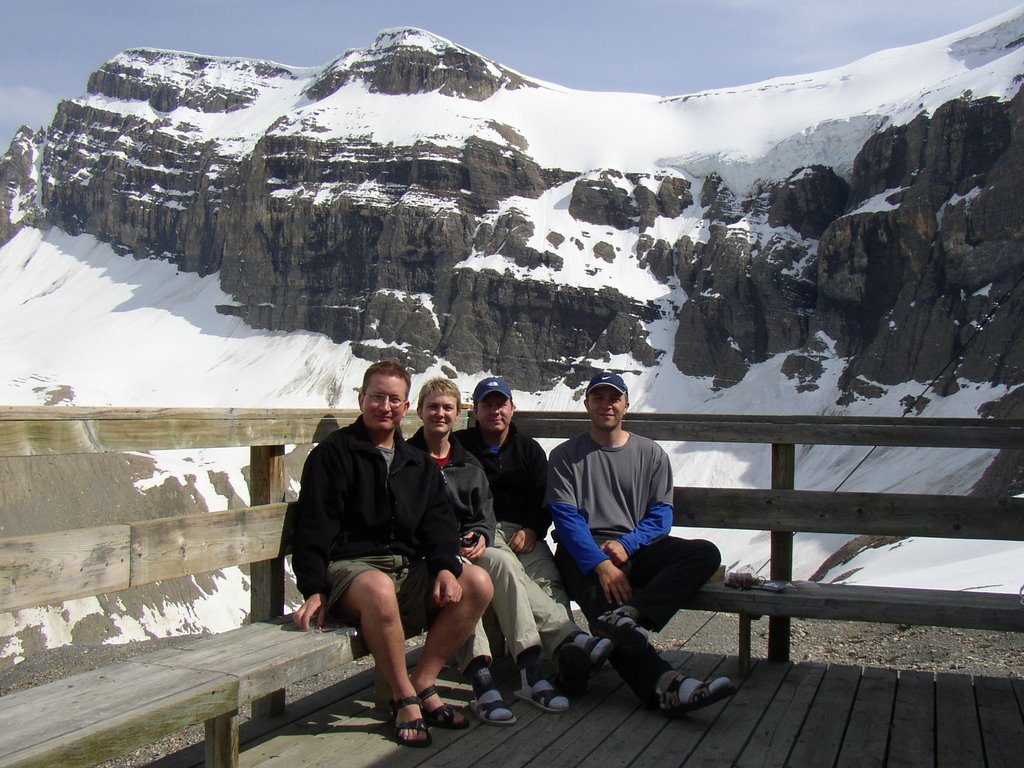
Flakes (and Hank) on the ridge before the saddle.


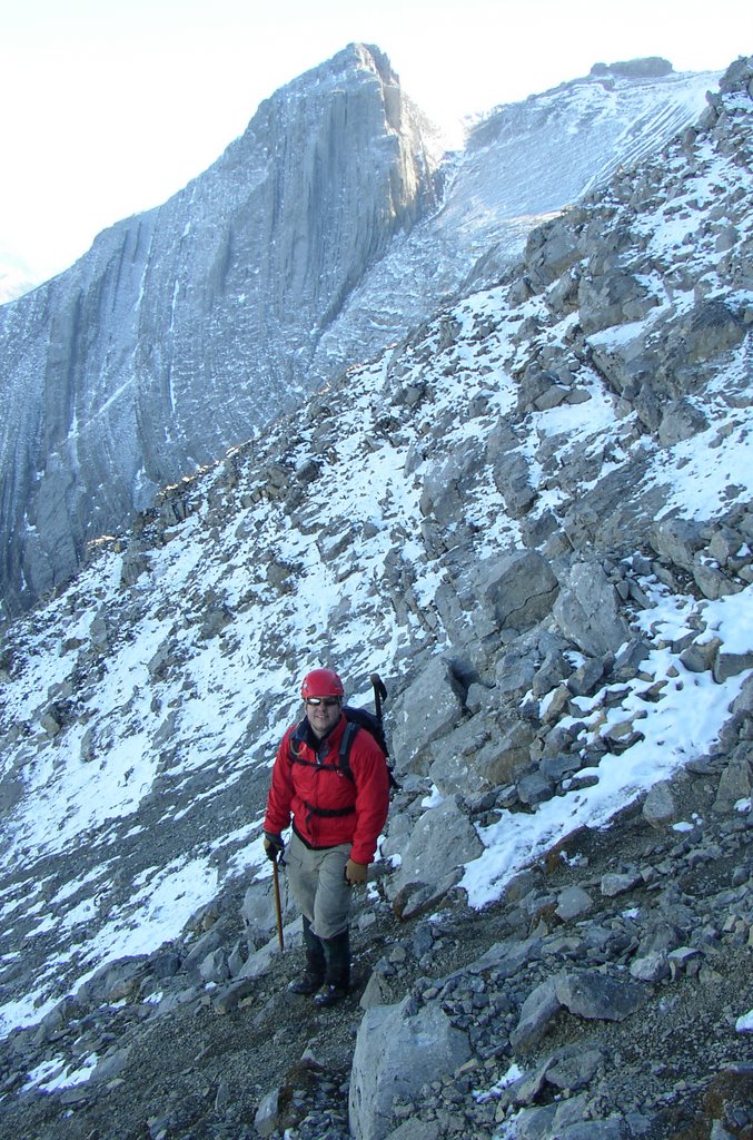
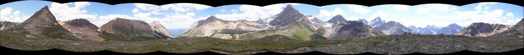
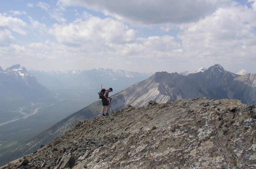
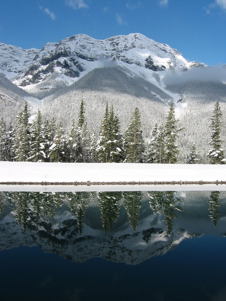
The view of Roche Miette from the saddle. Veer left, cross over the gully and go up.
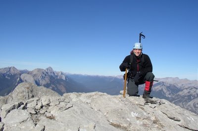
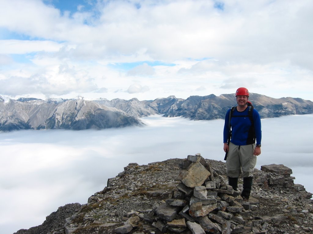
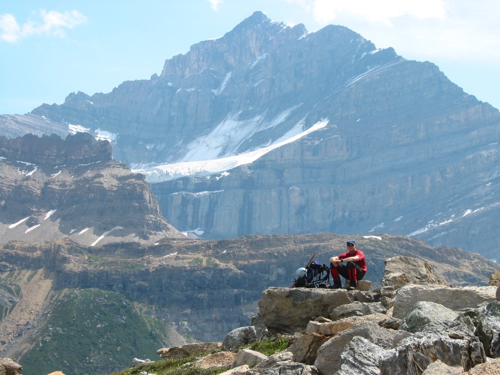
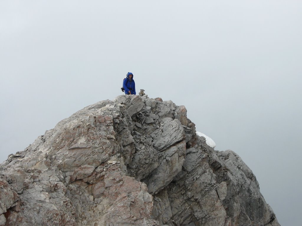
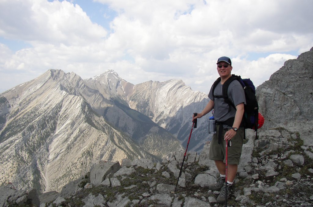

On top.


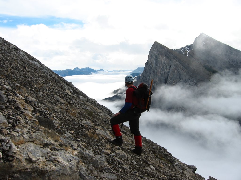
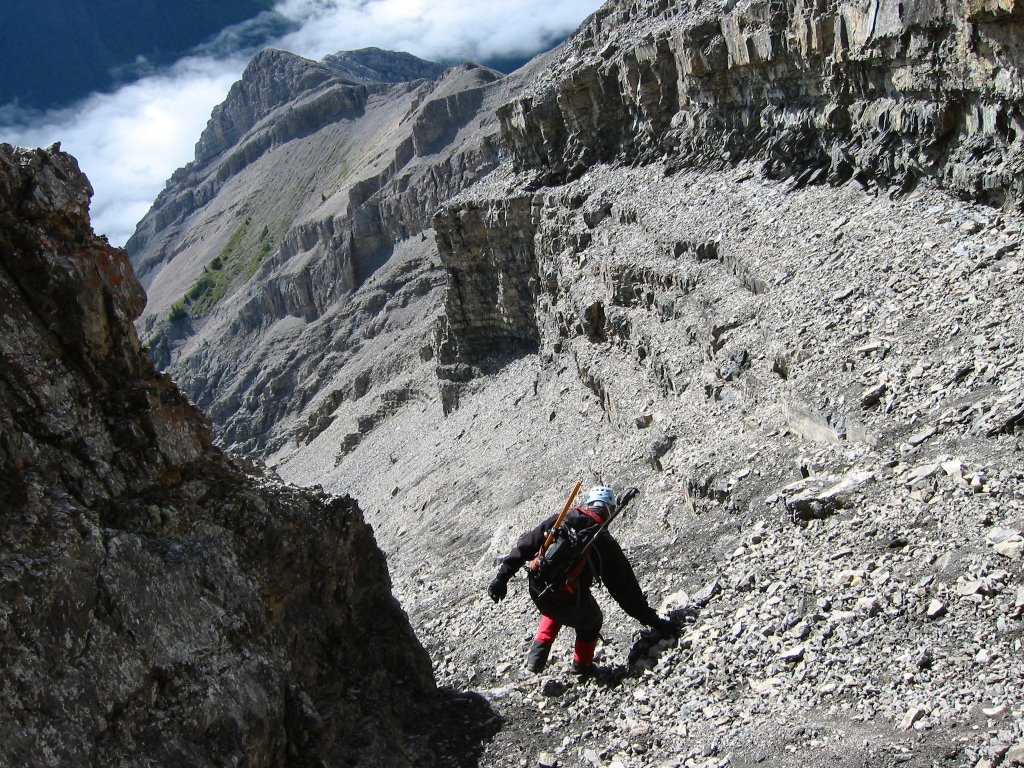
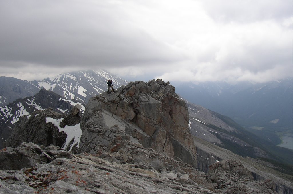
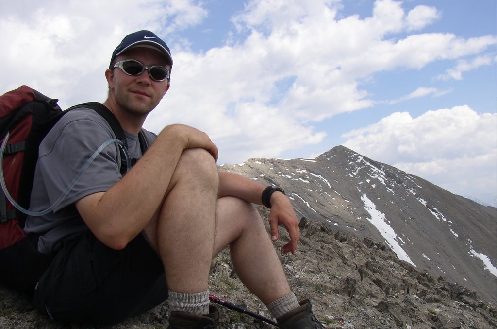
Hank on descent, I think that's one of the "rotten" peaks behind Hank that Alan Kane refers to in his guidebook.


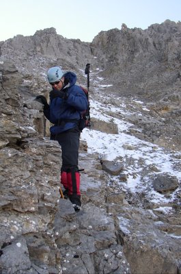
Fun times. This is me coming down a sloping ledge coated in verglas.

East End of Rundle

EEoR Stats.
9 Sept 2004
Scramble with Hank. An easy one we did as a daytrip from Edmonton.
When we got to Canmore the weather was looking bleak. Low cloud and seemingly imminent rain. But we headed up the mountain anyway and soon broke out of the clouds and were treated to some especially nice views of cloud filled valleys with islands of mountains protruding from below.
A short section of fun, easy hands-on scramblng near the top if you stick to the ridge. Definitely is more fun than that scree gully would be for ascending.


Breaking through the cloud layer, Ha Ling Peak and Mt Lawrence Grassi in the background.


The fun stuff.


More fun stuff.


View from the top.


Entering the scree gully on descent.

Geraldine Lakes

22-26 July 2004
Backcountry camping with Hank.
Staying out at Geraldine Lakes is a fantastic excursion. I really love this place. The hike in takes you past Lk. 1, past a small tarn (Lk. 1.5), over talus fields (and talus fields that hide the river that flows between Lk.2 and Lk. 1 - listen carefully as you cross and you can hear the water far below). Before getting to Lk. 2 there is a 90m waterfall that makes a great lunch spot. To the left of the waterfall is a steep slog up to Lk. 2, at the other end is the four site campground.
There is a small trail leading from the footbridge at Lk. 2 to Lakes 3 and 4. These are easier to get to than Lk. 2 and far more spectacular.

On this trip Hank and I decided to go explore the pass leading to the Divergence Creek area. On previous trips we had explored the ridges of Whirlpool Mountain and it's outliers to the South.

The description of Whirlpool Mtn and Mt Geraldine at Peakfinder.com have recently changed. They were previously both described as the same mountain with two separate unofficial names. Now it indicates that Whirlpool Mtn is the one on the west side of the valley and Mt Geraldine is the one on the east side of the valley and is an outlier of Mt Fryatt.
I had also previously understood that they were the same mountain as well, but this new revelation does makes sense I guess.


Hank starting the slog beside the waterfall.


Mt Fryatt and Geraldine Lake 4 from the NW.


Enjoying the views, watching approaching weather. Right after this we bailed and rushed back to camp. We were caught by a thunderstorm about 20 minutes from camp.


View from the pass into the Divergence Creek area.


A crude 360 degree pano from the pass.

Mount Lawrence Grassi

Mt. Lawrence Grassi Stats.
26 June 2004
Scramble up with Hank, scramble down with Hank and another group's straggler who was outside her comfort zone.
This was a foggy one. No views all of the way up, limited views once at the summit. And of course it started clearing about 30 minutes after we started our decent.


The obligatory stupid self portrait.


Me on one summit. Getting pelted with ice here.


Hank on the other summit.


We're leaving, so here comes the sun.


Emily and Hank. When we were hiking out on the approach along the canal we could see Emily's group reaching the summit.

Grotto Mountain

Grotto Mtn Stats.
22 June 2004
Scramble with Paul.
This one was by far one of my least favorite failures. We had to turn around before getting too late for dinner with my parents and some guests in Canmore. We should have had enough time, however we wasted a lot of it searching for the correct trail at the base of the mountain. It was also stinking hot and the noise from Canmore's booming condo-constructing industry, tourist helicopters, trains, and the trans Canada highway was ever present.
Eventually we did find the correct trail and made it to the ridge, but were still a click or two from the summit.


An interesting rock on one of the cairns.


Paul makes his way to the top of the ridge.


Me on the ridge with Mt. Lady Macdonald and Mt. Charles Stewart in the background.


Paul and a better view of Mts. Lady Mac and Charles Stewart.


End of the line for us today, true summit of Grotto in the distance.

Bow Hut

20-21 June 2004
Moderate hike to the ACC hut and some easy scrambling on the Onion with Hank, Erin and Paul.
As we were having coffee at NumTiJah Lodge before starting our hike the weather was tentative. There was drizzle on and off until we were halfway up the second canyon. Luckily it didn't get any heavier and then dissipated for the remainder of out trip. After unpacking at the hut Hank, Erin and I decided to go scramble up the Onion while Paul stayed at the hut and rested. We told Paul we'd be back for dinner at 6:00. We hadn't reached the top of the Onion by 6:30 so we decided to turn around and head back to the hut. Paul was maaaaaaaaaad. He had believed us when we said 6:00 and cooked the chicken. I think we were forgiven by the next day. Maybe.
I love going up to Bow Hut. The feeling you get when you turn the corner into that second canyon and the view headwall with the Wapta overhanging opens up is fantastic. Also, Bow Hut has the best deck location I've ever had the pleasure of seeing.


Erin, Hank, Paul, Myself on the steps of the hut.


Headwall in the distance.


Into the moraine.


The Bow Hut deck.


Erin and I scrambling on the Onion.

Friday, May 05, 2006

Sulphur Skyline

12 June 2004
Moderate Dayhike with Hank, Heather, Trevor.
This is a relatively easy hike near Miette Hotsprings. A maintained trail takes you to the crest of a ridge above treeline. Be careful the gangs of bold Richardson's Ground Squirrels will mug you for food.

Alpine plateau below the ridge summit.


This quick glimpse of Utopia Mountain that you can see between Trev and Hank was the best view we had all day.

Mount Lawrence Grassi

Mt Lawrence Grassi Stats.
6 May 2004
Scramble with Hank.
While driving down to Canmore from Edmonton the night before, we ran into a bad snowstorm. That little snowstorm dropped about 8" to 10" of snow in the town of Canmore by morning. We decided to go for Grassi anyway. Little did we know we were beaten from the beginning. Also, it may have been a bad idea to stay up until 4am the previous night.
The view of Ship's Prow, Mt L. Grassi, and Ha Ling Peak from the house we stayed at in the morning.


The Goat Range reflected in the canal.


This was as close as we got to the summit before fatigue and conditions turned us back.


Dejected.

Heart Mountain

Heart Mtn Stats.
25 April 2004
Scramble with Hank and Paul
Simple, straightforward scramble near Canmore that we did as a daytrip from Edmonton


Paul and I near the bottom of Heart Mtn.


On the trail up.


Paul climbing the upper gully. This feature is about 3/4 of the way up the mountain. It and an upclimb at 1/2 way up are the only two actual scrambling bits on this mountain. Otherwise it's just a steep hike.


View from the 1st summit (and Hank).
OK. Where to start Since the blog is a new format for me I think I'll start with my oldest trip (2004 to present) first.
Instead of having numerous pictures and a bit of text for each photo like the old site, I think I'll try a few photos from each excursion and a short summary to go along with it.

Thursday, May 04, 2006


More mountain stuff to follow shortly.