Geraldine Lakes
22-26 July 2004
Backcountry camping with Hank.
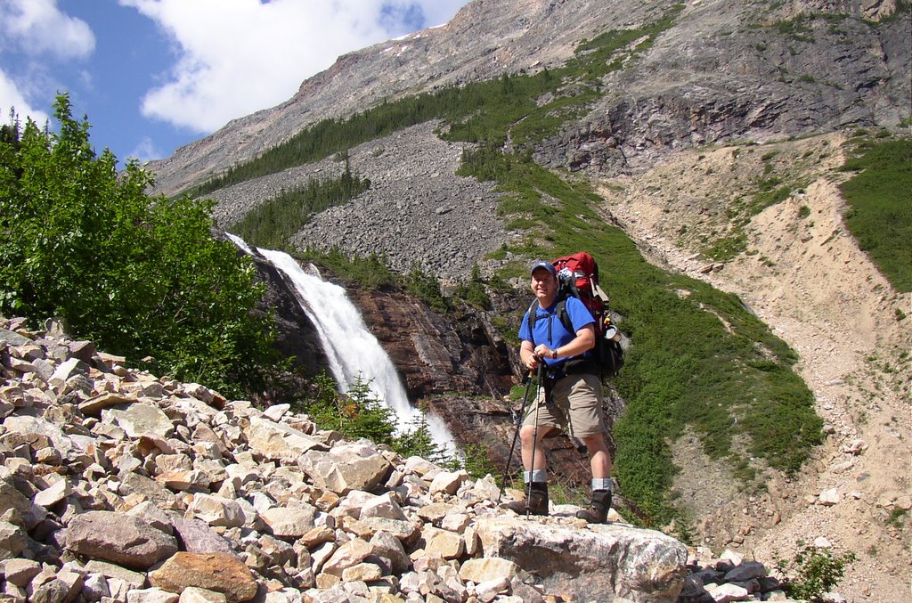
Staying out at Geraldine Lakes is a fantastic excursion. I really love this place. The hike in takes you past Lk. 1, past a small tarn (Lk. 1.5), over talus fields (and talus fields that hide the river that flows between Lk.2 and Lk. 1 - listen carefully as you cross and you can hear the water far below). Before getting to Lk. 2 there is a 90m waterfall that makes a great lunch spot. To the left of the waterfall is a steep slog up to Lk. 2, at the other end is the four site campground.
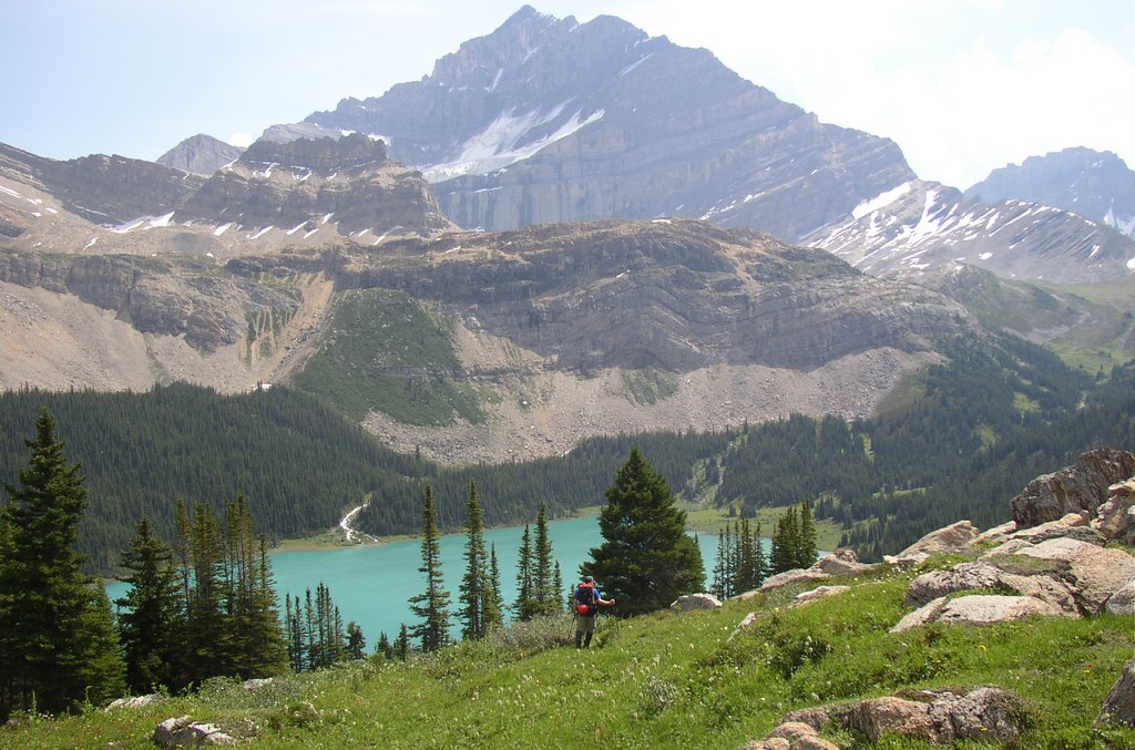
There is a small trail leading from the footbridge at Lk. 2 to Lakes 3 and 4. These are easier to get to than Lk. 2 and far more spectacular.
On this trip Hank and I decided to go explore the pass leading to the Divergence Creek area. On previous trips we had explored the ridges of Whirlpool Mountain and it's outliers to the South.
The description of Whirlpool Mtn and Mt Geraldine at Peakfinder.com have recently changed. They were previously both described as the same mountain with two separate unofficial names. Now it indicates that Whirlpool Mtn is the one on the west side of the valley and Mt Geraldine is the one on the east side of the valley and is an outlier of Mt Fryatt.
I had also previously understood that they were the same mountain as well, but this new revelation does makes sense I guess.
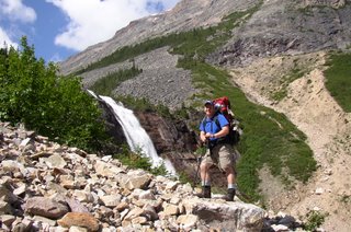
Hank starting the slog beside the waterfall.

Mt Fryatt and Geraldine Lake 4 from the NW.

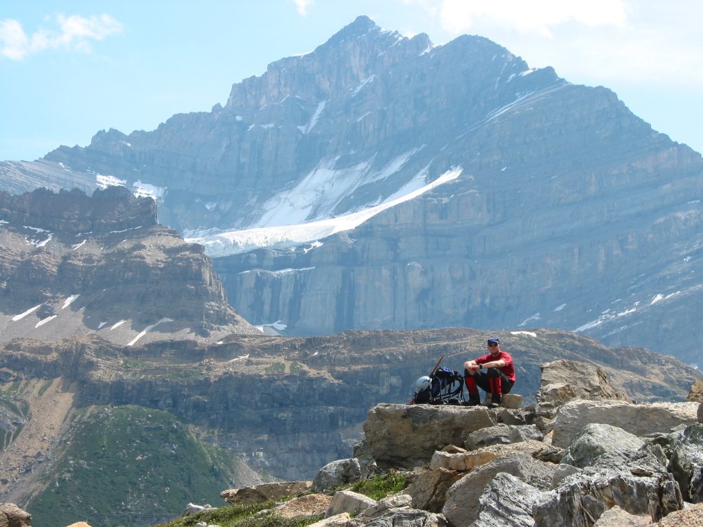
Enjoying the views, watching approaching weather. Right after this we bailed and rushed back to camp. We were caught by a thunderstorm about 20 minutes from camp.
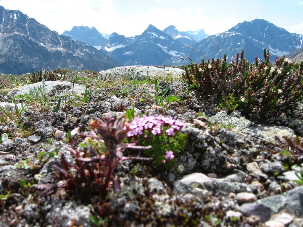
View from the pass into the Divergence Creek area.

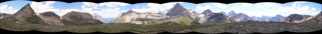
A crude 360 degree pano from the pass.
Backcountry camping with Hank.
Staying out at Geraldine Lakes is a fantastic excursion. I really love this place. The hike in takes you past Lk. 1, past a small tarn (Lk. 1.5), over talus fields (and talus fields that hide the river that flows between Lk.2 and Lk. 1 - listen carefully as you cross and you can hear the water far below). Before getting to Lk. 2 there is a 90m waterfall that makes a great lunch spot. To the left of the waterfall is a steep slog up to Lk. 2, at the other end is the four site campground.
There is a small trail leading from the footbridge at Lk. 2 to Lakes 3 and 4. These are easier to get to than Lk. 2 and far more spectacular.
On this trip Hank and I decided to go explore the pass leading to the Divergence Creek area. On previous trips we had explored the ridges of Whirlpool Mountain and it's outliers to the South.
The description of Whirlpool Mtn and Mt Geraldine at Peakfinder.com have recently changed. They were previously both described as the same mountain with two separate unofficial names. Now it indicates that Whirlpool Mtn is the one on the west side of the valley and Mt Geraldine is the one on the east side of the valley and is an outlier of Mt Fryatt.
I had also previously understood that they were the same mountain as well, but this new revelation does makes sense I guess.
Hank starting the slog beside the waterfall.
Mt Fryatt and Geraldine Lake 4 from the NW.
Enjoying the views, watching approaching weather. Right after this we bailed and rushed back to camp. We were caught by a thunderstorm about 20 minutes from camp.
View from the pass into the Divergence Creek area.
A crude 360 degree pano from the pass.
posted by Troy at 12:57 PM
![]()

0 Comments:
Post a Comment
<< Home