Big Sister
27 August 2006
Big Sister Stats, Three Sisters Stats
Climbed this one yesterday as a daytrip from Edmonton with Hank and a sinus/throat infection.
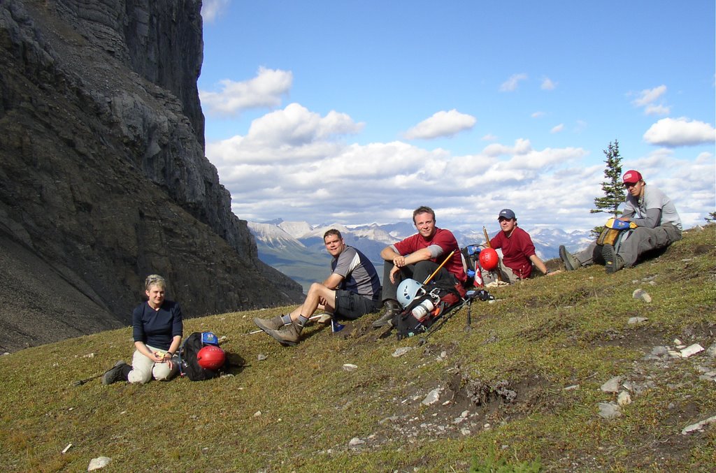
8:30 round trip including at least an hour on the summit with five other scramblers.
All in all found this mountain to be quite enjoyable. The first down-climb was easy and uninteresting, the second one descending to the base of the pinnacles just as easy and a lot of fun.
Unfortunately I didn't have my camera with me. Pictures will be added when I get them from Hank.
.......Well, here they are. The pics.
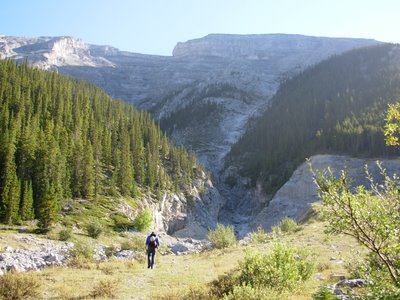
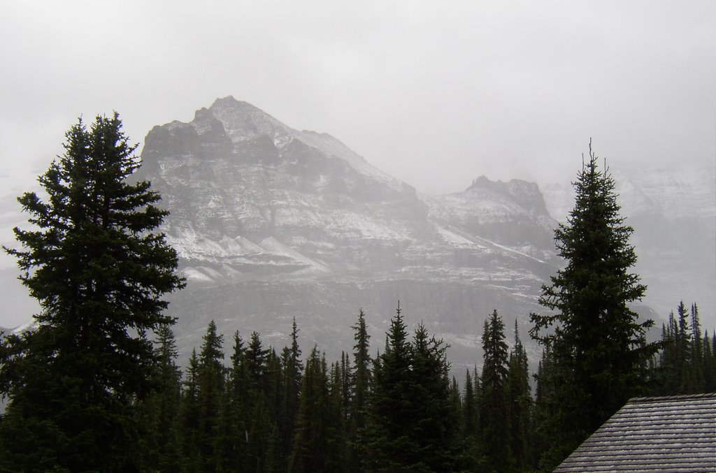
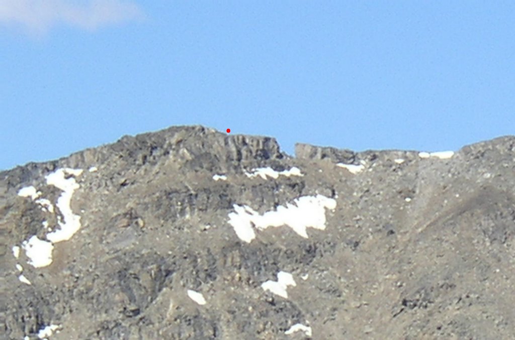
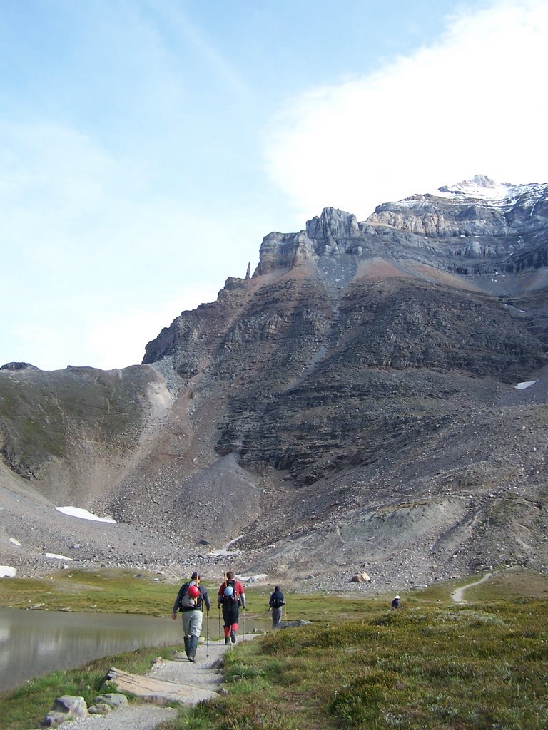
On the trail, Big Sister looms overhead. Summit it out of sight at upper left.

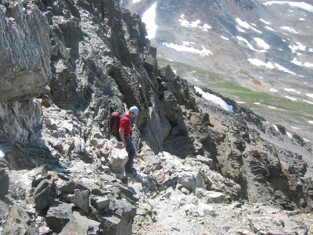
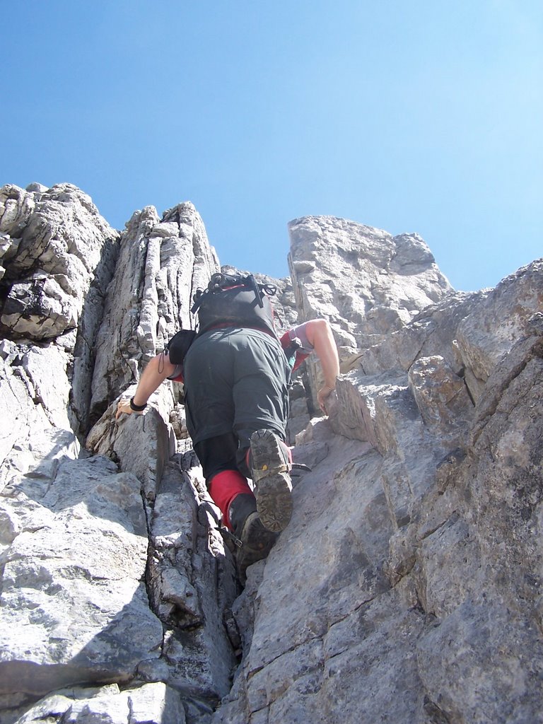
Descending the first downclimb.

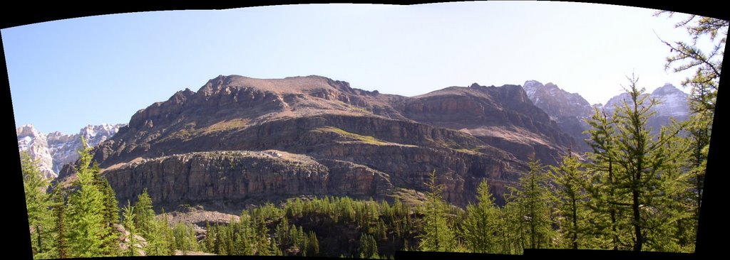
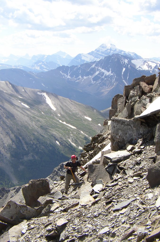
Making our way up the sweeping ridge.

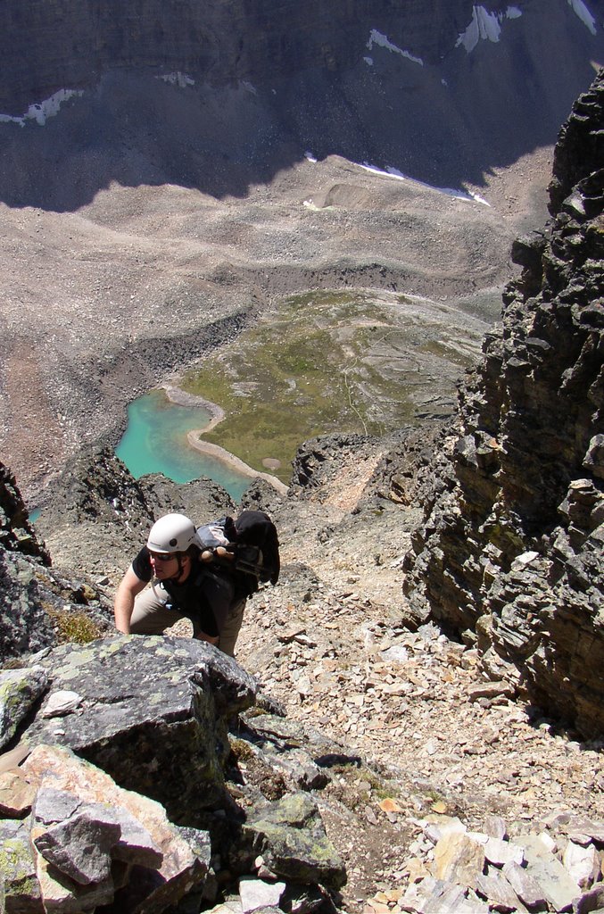
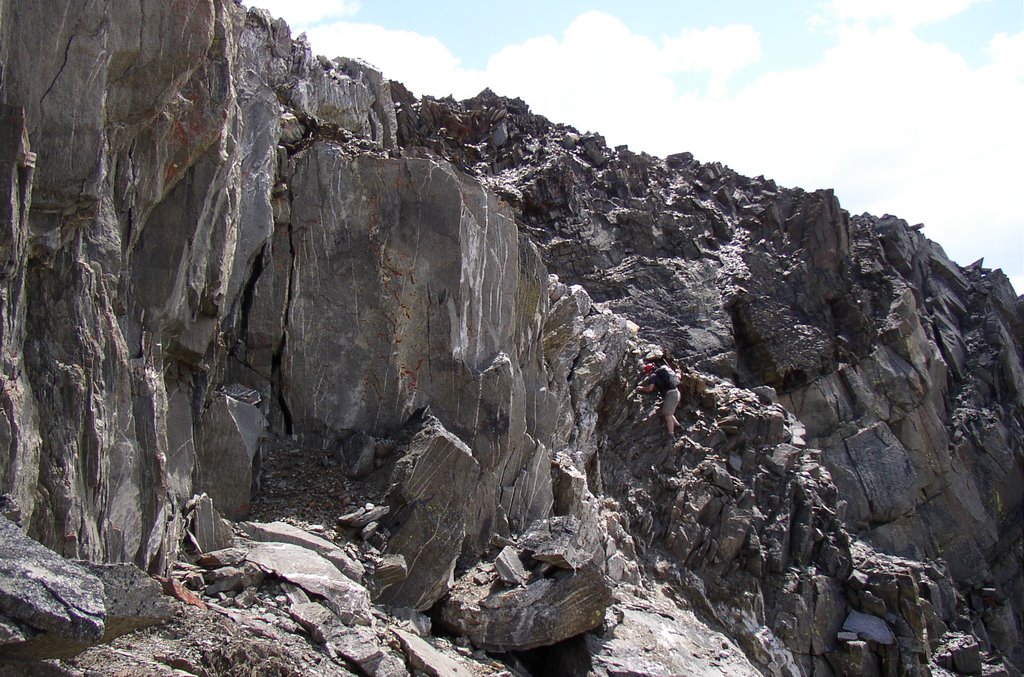
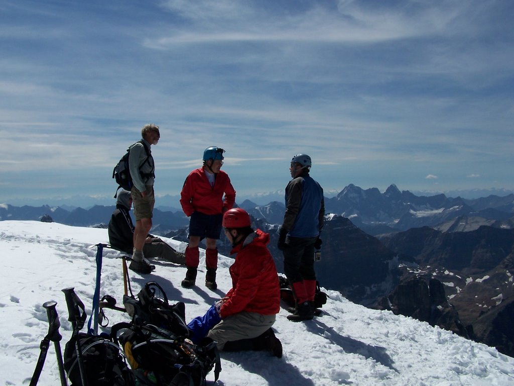
Approaching the second downclimb. Here we see a scrambling victim sitting down after he and his girlfriend got slabbed out. The slabs scared them too much and the thought they were off route. The girl is actually out of frame and a bit too far right, she was scared and jettisoned her pack (again, just like when she was halfway down the first downclimb).
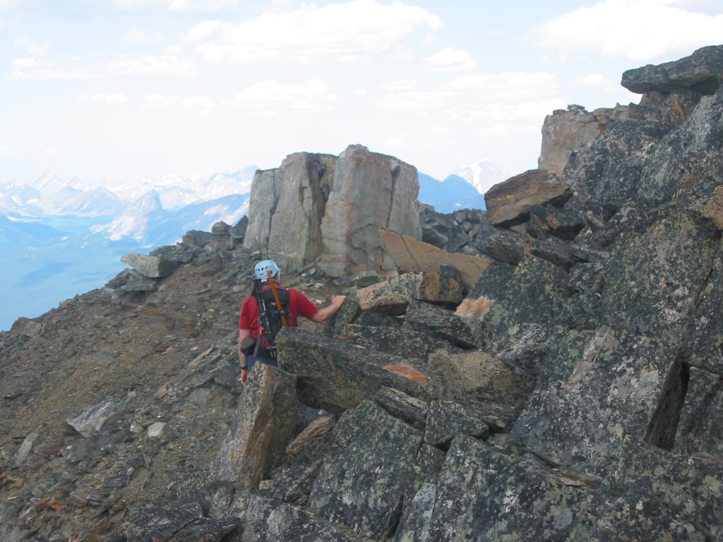
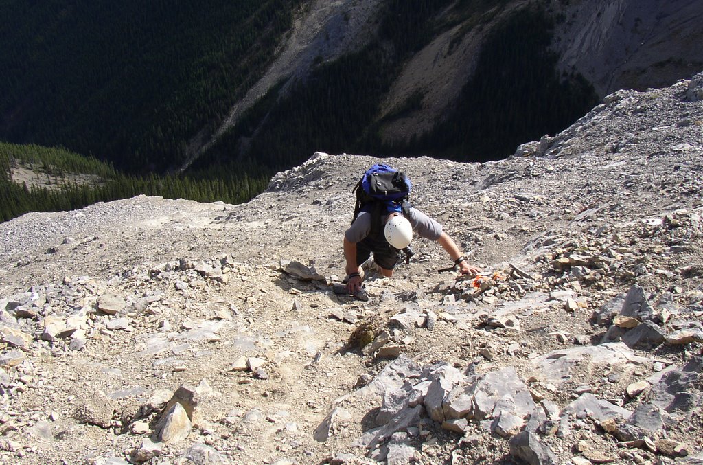
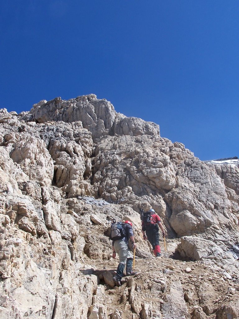
Almost immediately above the guy on the slabs is an inside corner to climb, then over the top to the second downclimb. Then we followed the base of the next pinnacles (big wall in photo) up to the summit visible slightly left of centre.

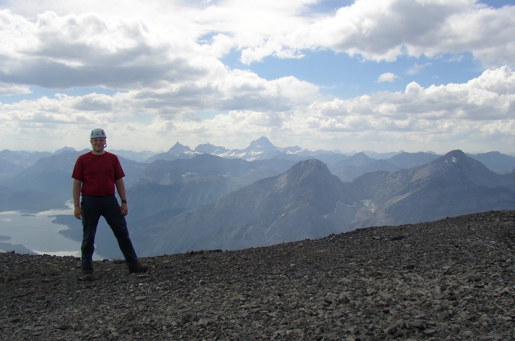
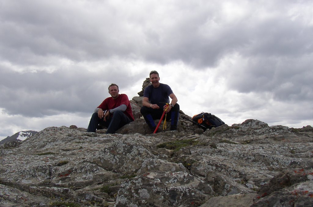
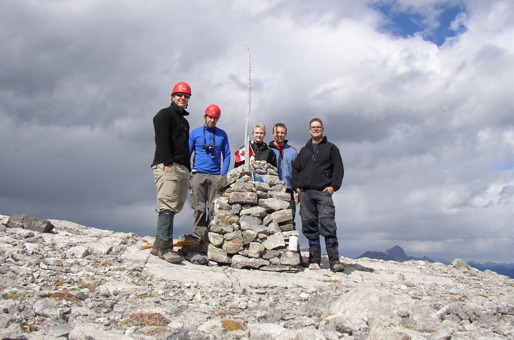
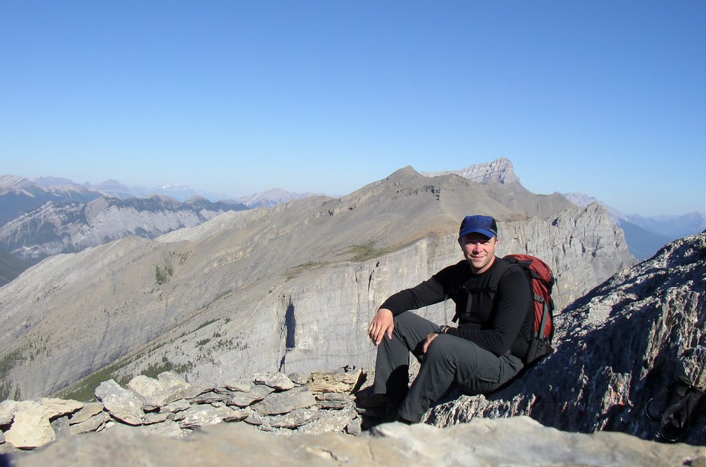
Hank and I at the summit. Pack tosser in the background.
Big Sister Stats, Three Sisters Stats
Climbed this one yesterday as a daytrip from Edmonton with Hank and a sinus/throat infection.
8:30 round trip including at least an hour on the summit with five other scramblers.
All in all found this mountain to be quite enjoyable. The first down-climb was easy and uninteresting, the second one descending to the base of the pinnacles just as easy and a lot of fun.
Unfortunately I didn't have my camera with me. Pictures will be added when I get them from Hank.
.......Well, here they are. The pics.

On the trail, Big Sister looms overhead. Summit it out of sight at upper left.

Descending the first downclimb.
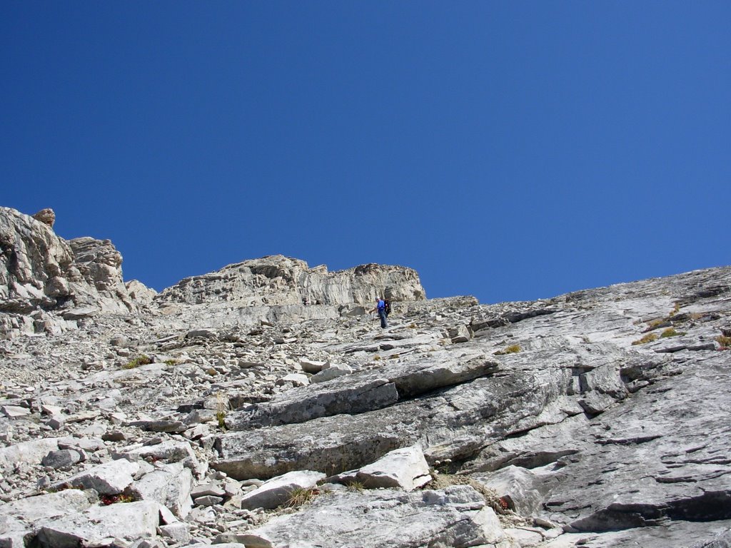
Making our way up the sweeping ridge.

Approaching the second downclimb. Here we see a scrambling victim sitting down after he and his girlfriend got slabbed out. The slabs scared them too much and the thought they were off route. The girl is actually out of frame and a bit too far right, she was scared and jettisoned her pack (again, just like when she was halfway down the first downclimb).
Almost immediately above the guy on the slabs is an inside corner to climb, then over the top to the second downclimb. Then we followed the base of the next pinnacles (big wall in photo) up to the summit visible slightly left of centre.
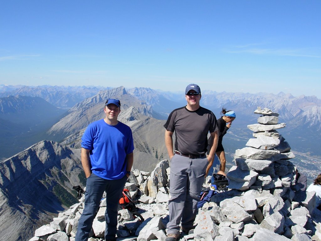
Hank and I at the summit. Pack tosser in the background.
posted by Troy at 9:17 AM
0 comments
![]()